Description
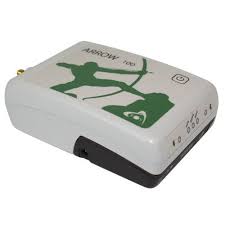
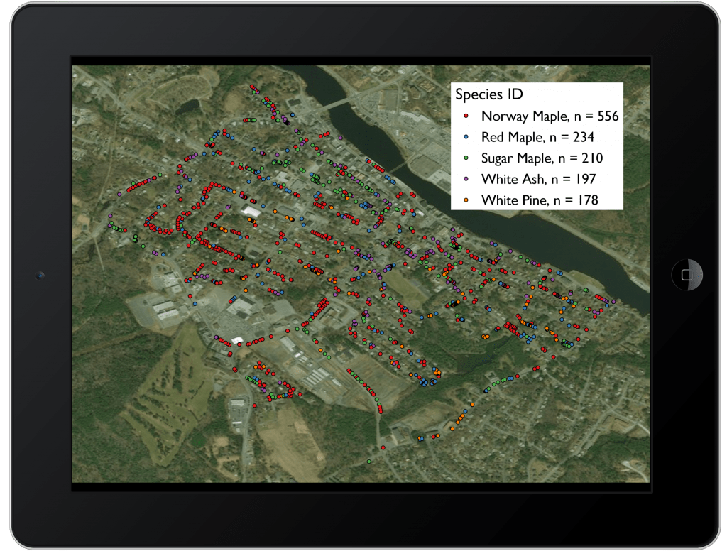
The EOS Arrow 100 is a GPS receiver with sub-meter accuracy. It connects via bluetooth to a smart phone or tablet. MSPC and city staff will use the Arrow 100 to collect location and descriptive data on the park’s plant material. This collected data is entered into MSPC’s Geographic Information System (GIS) database and displayed on a map of the park. The information can be used by park managers to make planning decisions, by the public to identify plants they see or want to view, and even by scientists who want to collect a plant’s genetic material for research or preservation.


